Flow attenuation plan designed to protect nesting habitat

Flow attenuation plan designed to protect nesting habitat

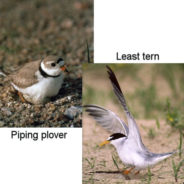
With the summer months approaching, Central would like to provide a reminder about operations at Johnson Lake, specifically the requirement to adhere to a plan to protect nesting habitat for two threatened/endangered avian species along the Platte River.

The Flow Attenuation Plan, or “Spike-Flow Plan” (Plan), was developed several years ago with input from the U.S. Fish and Wildlife Service and the Nebraska Game and Parks Commission. It is intended to help attenuate (reduce) flows on the Platte River below the Overton measuring gauge during the least tern and piping plover nesting seasons.

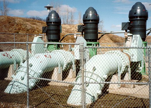
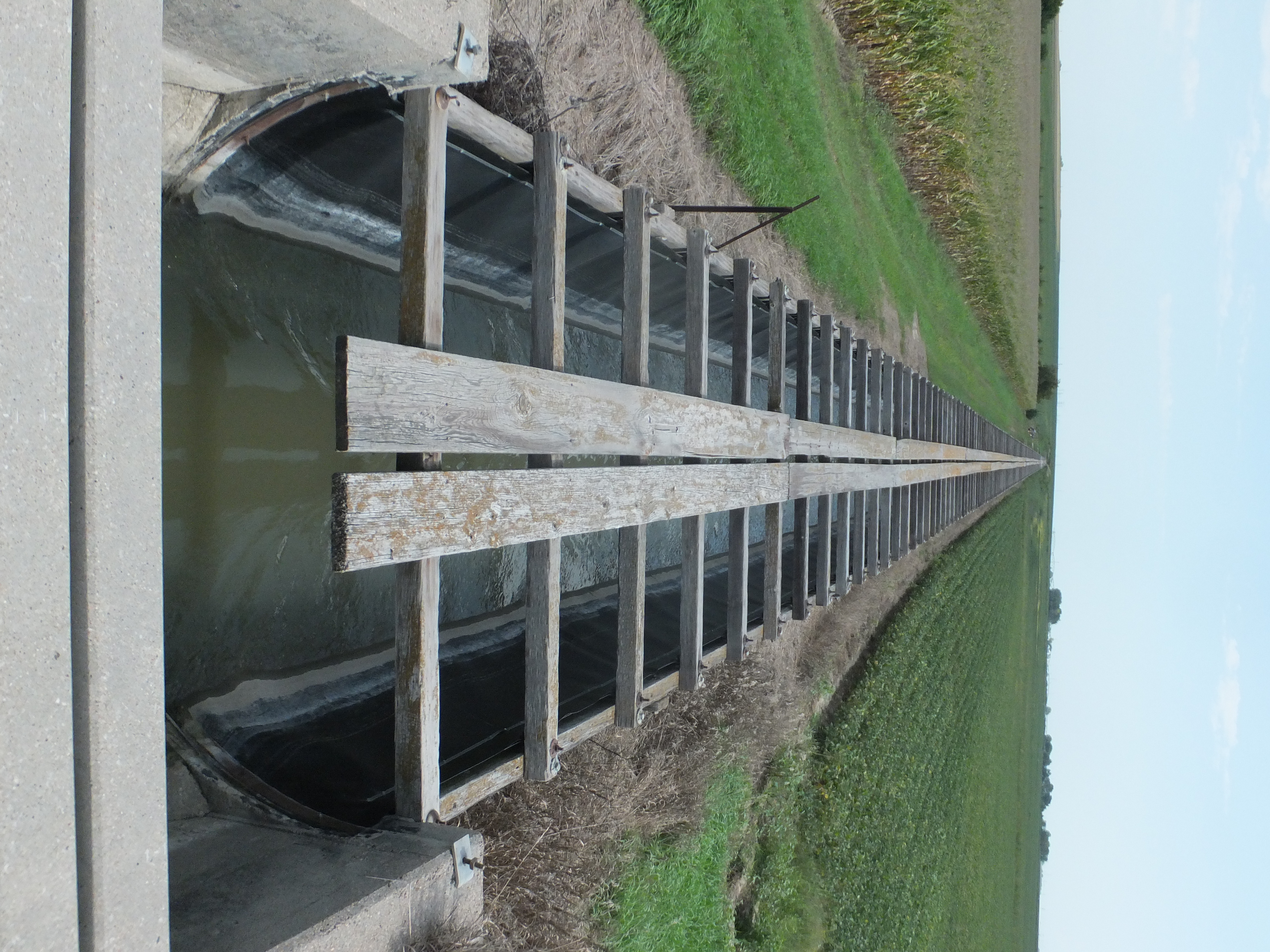
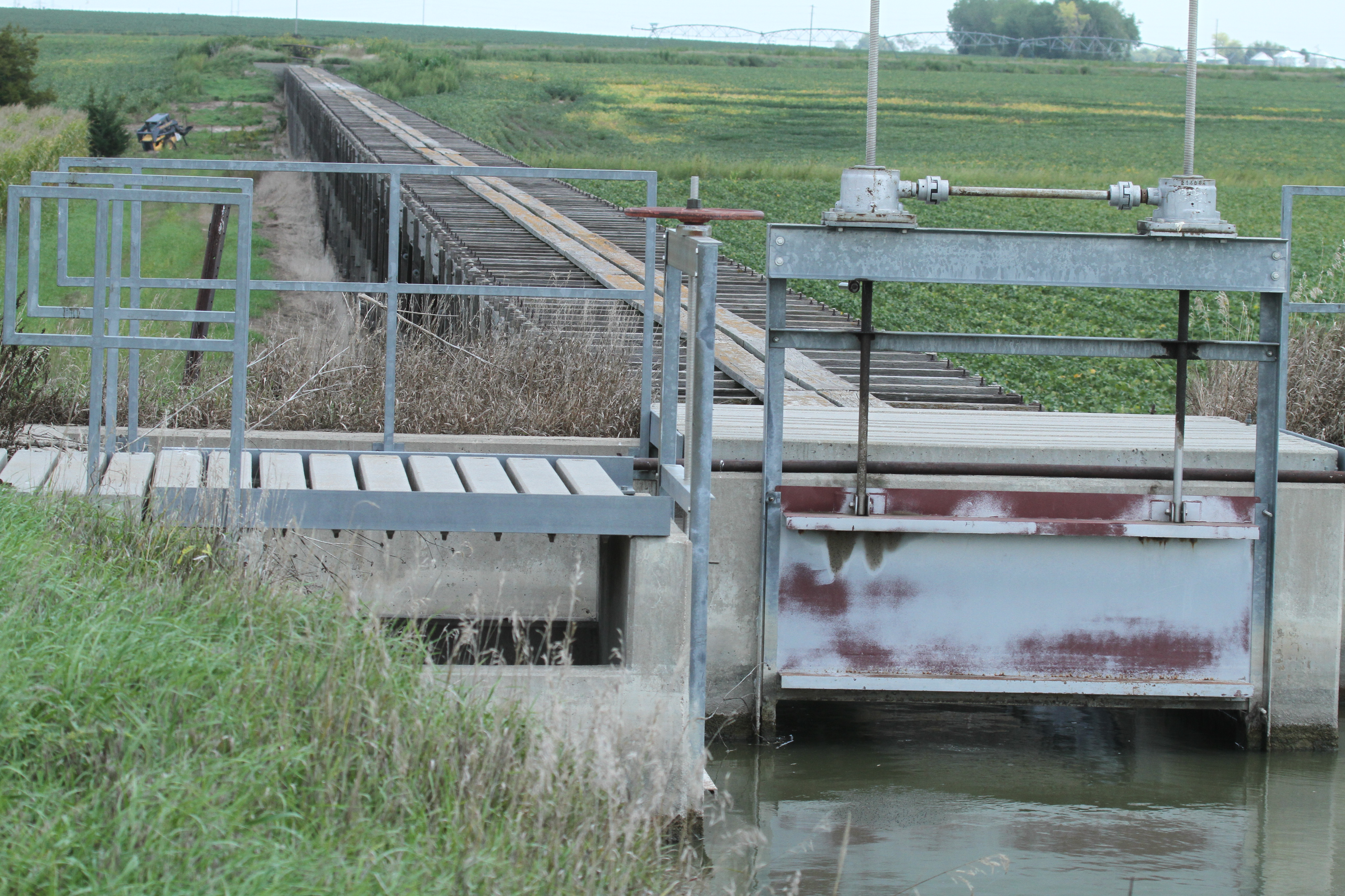
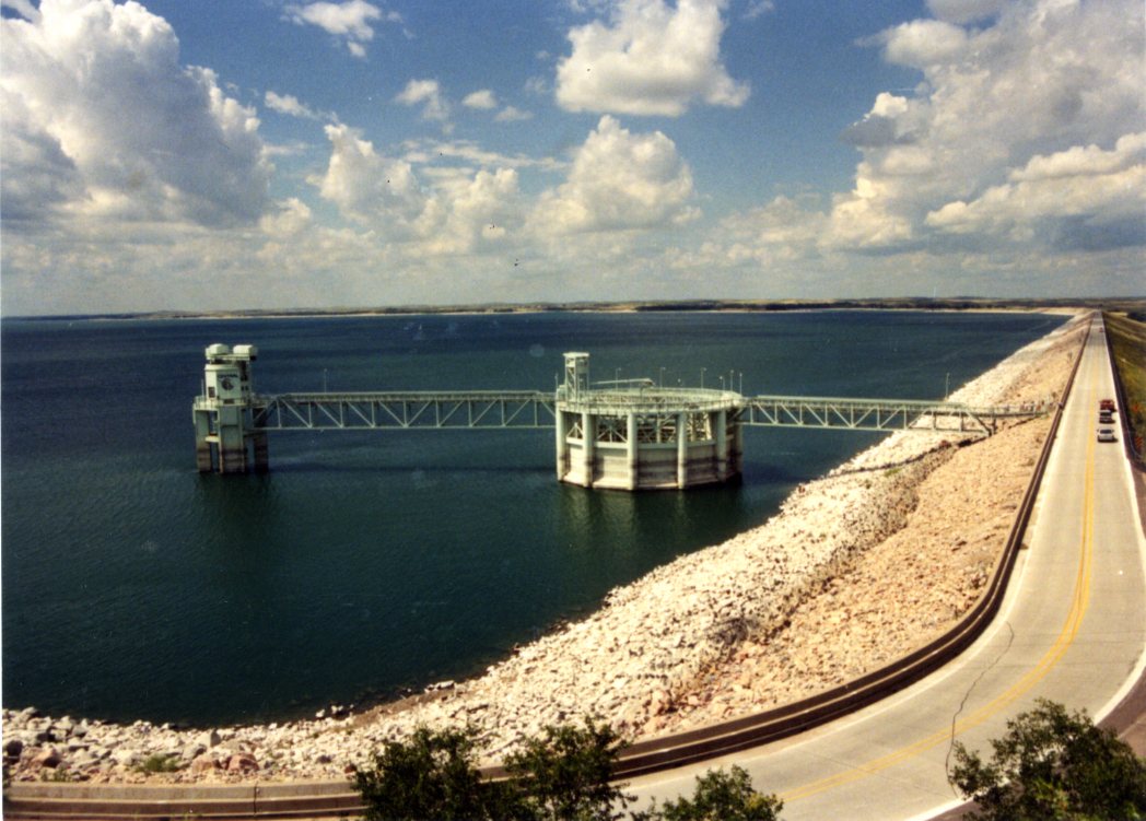
The Plan is designed to keep Platte River levels at lower levels, thus reducing the chances of flooding nests located on sandbars. The Plan requires Central to use Elwood Reservoir and up to 2,500 acre-feet of space in Johnson Lake and immediately above the J-2 Hydroplant to help attenuate river flows. It enables Central to respond to large rain events during the irrigation season and reduce the release of rejected irrigation water to the river.

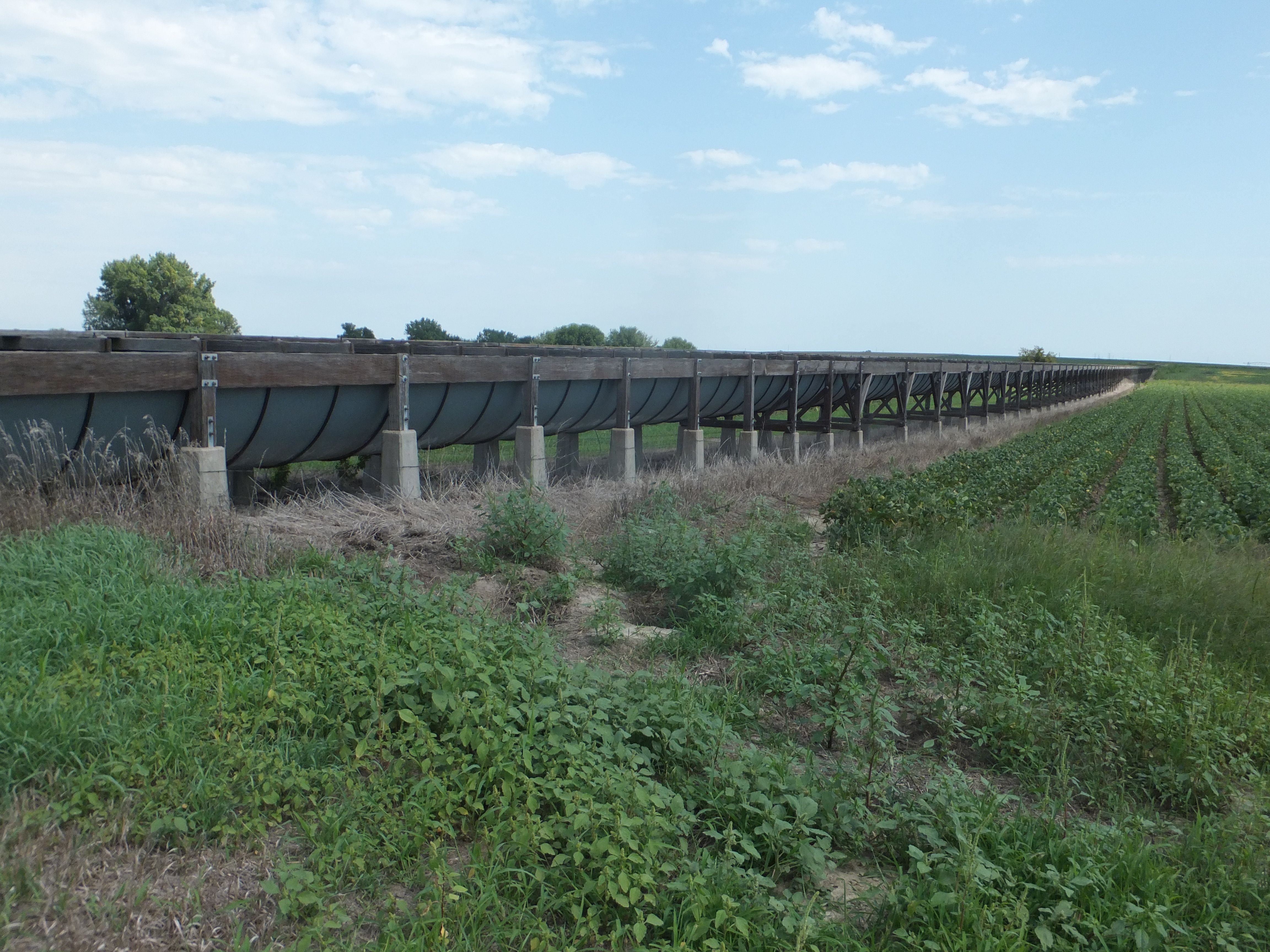
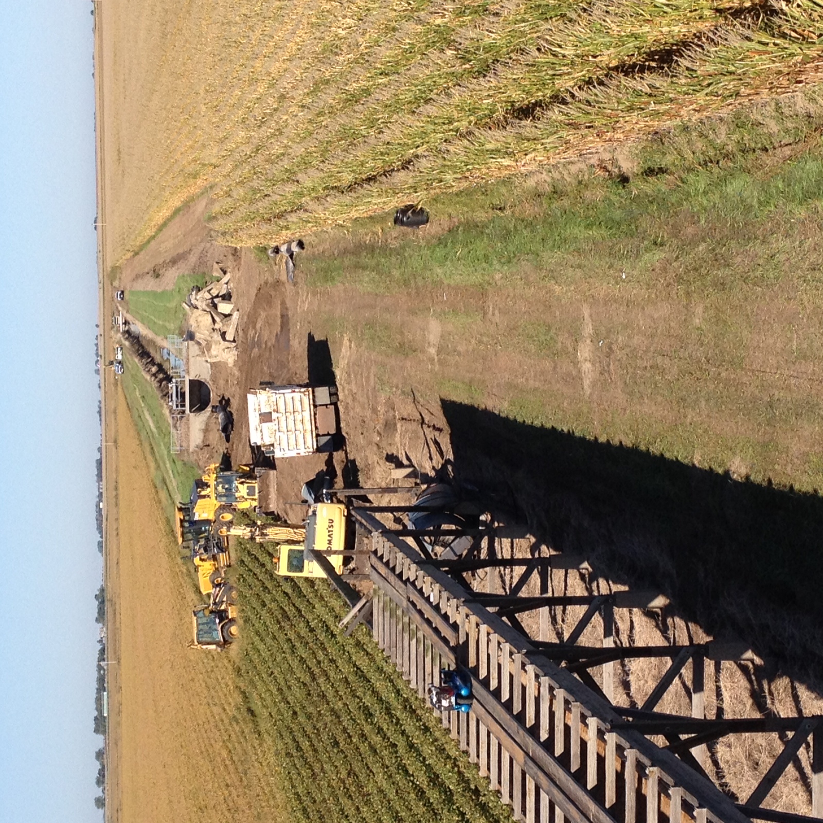
Water is released from Lake McConaughy during the irrigation season to serve more than 100,000 irrigated acres primarily in Gosper, Phelps and Kearney counties. Water from Lake McConaughy takes four to five days to travel the 125 miles to the headworks of the irrigation systems. The Supply Canal also collects rainfall runoff in its watershed, so its flow may vary beyond what is diverted at the North Platte Diversion Dam.

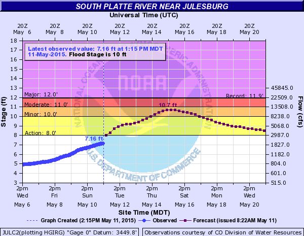
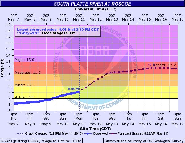
On occasion, large rainfall events occur in the Platte River basin and Central’s irrigated area. Heavy rainfall increases river flows and often prompts many irrigators to stop taking water. Since these rain events sometimes occur with little notice, and water has already been released to meet irrigation demands, a large quantity of water may be moving through Central’s system when it isn’t needed for irrigation (remember the travel time between Lake McConaughy and the irrigated area). This excess water must either be regulated in Central’s system or returned to the river. Returning the water to the river means losing precious storage water for irrigation purposes.

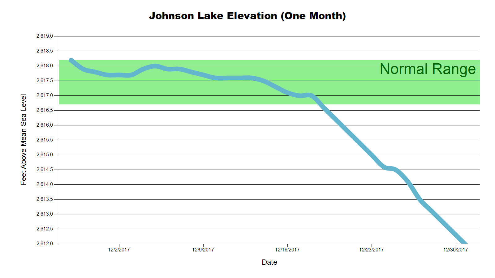
To have 2,500 acre-feet of space in Johnson Lake to hold rain and rejected irrigation water, the lake must be kept at the lower end of normal levels. From June 1 to Aug. 15 each year, Johnson Lake will be operated near the low end of the normal operation range (see Johnson Lake Elevation Graph) so that space is available if attenuation is required. When attenuating flows, Johnson Lake levels will increase until the water is released to the river at low flows or diverted to the irrigation canals. The water levels will then decline to the lower end of the operating range in preparation for another attenuation event.

Planning Under Way for Water & Natural Resources Tour

Planning Under Way for Water & Natural Resources Tour

The date is still months away, but not too early to begin thinking about the annual Water and Natural Resources Tour organized by the Nebraska Water Center and The Central Nebraska Public Power and Irrigation District.

This year’s tour will take place on June 27-29. The destination will be Nebraska’s west-central Platte River Basin between Elm Creek and Lake McConaughy.

“This is a critical stretch of the Platte River that has many-faceted and far-reaching impacts on all Nebraskans,” said Steve Ress communicator for the Nebraska Water Center, which is part of the Robert B. Daugherty Water for Food Global Institute. “It is tremendously important for agriculture, Nebraska’s economy, recreation, hydropower production, fish and wildlife habitat and many other interests.”

The Water and Natural Resources Tour began more than 40 years ago as an idea of then UNL Chancellor D.B. “Woody” Varner. What was originally an irrigation tour has evolved over the years into a broad investigation of many water and environmental topics relevant to Nebraska.

Tentative stops and topics on the tour include an organic farming operation; facilities related to Central’s hydro-irrigation project, including Kingsley Dam and Lake McConaughy; the Nebraska Game and Parks Commission’s Water Interpretive Center at Lake McConaughy; projects underway by Platte Basin Natural Resources Districts; the Frito-Lay corn Handling Facility at Gothenburg and Monsanto’s Water Utilization Learning Center at Gothenburg; UNL’s West Central Research and Extension Center near North Platte for discussion of new cropping and irrigation technology research, a stop at a Platte River Recovery Implementation Program site; the Nebraska Public Power District’s Gerald Gentleman Station near Sutherland, and more. Planning is underway to end the tour with a kayak trip on a stretch of Central’s Supply Canal.

“Anyone who is interested in water resources, be they producers, researchers, or work in the water resources field, is welcome to attend,” said Central’s Public Relations Coordinator Jeff Buettner. “Our agenda will be packed with interesting topics and our goal is to present a broad overview of why this stretch of the Platte River is so important to Nebraska for many different reasons.”

Registration information for the tour will be announced soon. The latest tour information will be online at watercenter.unl.edu. Participation will be limited to the first 55 registrations.

E67 Telemetry Project Begins Second Year

E67 Telemetry Project Begins Second Year

Centralized Water Use Database for Irrigation Water Management in CNPPID
by Marcia Trompke, CNPPID Conservation Director


Site 4

     Producers taking water from Central’s E67 Pipeline Canal are involved in our newest precision management pilot project; funded in part by Nebraska lottery dollars through the Nebraska Environmental Trust, McCrometer Inc., Central and Nebraska Extension.  McCrometer’s Steve Grove (Hemet, CA) and Paul Tipling (Salina, KS), came to NE last week to help Central staff install equipment at 25 new field sites.  These sites, added to the 2015 installations, bring total sites in the project to 51.  In addition, a third McCrometer weather station was set up next to an existing UNL station to compare measured weather data and the results of the evapotranspiration calculations from each unit.

20150615_141111
Each project site using water from E67 has been fitted with a UHF radio/solar panel set and a digitizer added to the existing flowmeter.  Most sites have a digital rain gauge unless pivot water will hit it.  A gateway unit at the powerhouse near Johnson Lake calls each field station every hour and each weather station every 15 minutes to gather data and transmit it to a host computer at McCrometer.  Producers have access to this information from each of their fields and the weather stations immediately from a home computer, tablet or smartphone.  Data is graphed, tabled and archived for producers and all data is exportable to an Excel spreadsheet.

flow meter 6  
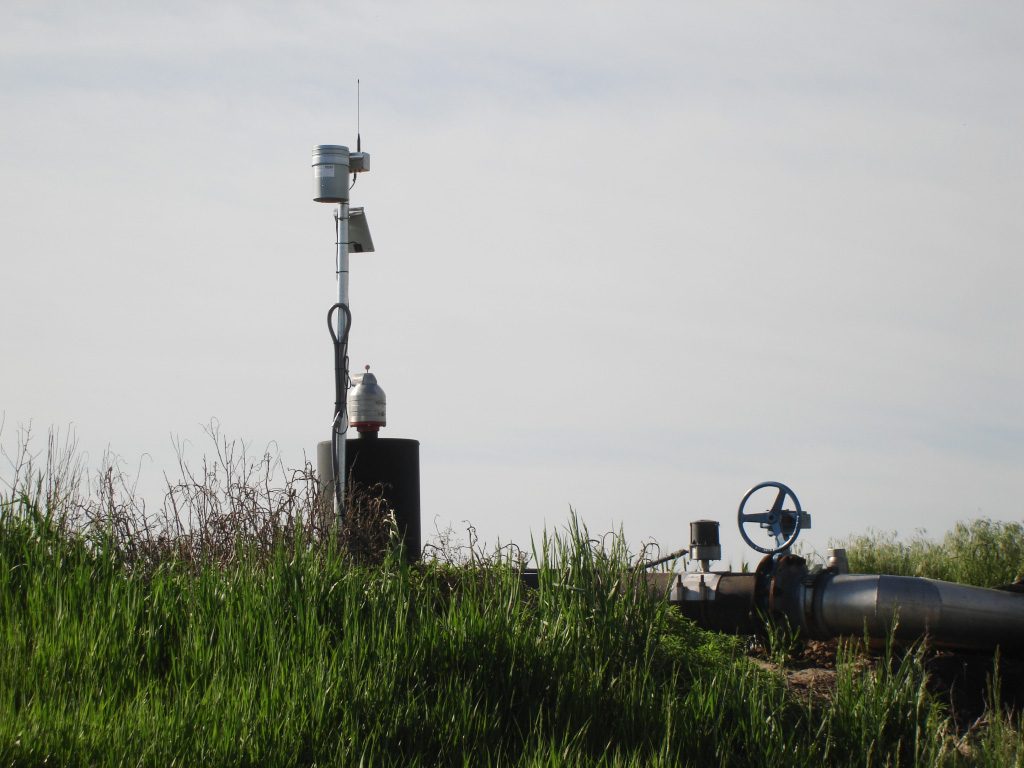
The outcome of precision management is expected to be high yields with minimum use of irrigation water.  It is possible that an irrigation event can be saved at the beginning or end of the season or both once the producer has reliable information on hand to make those decisions.

***

Other info:

  • The E67 Canal headgate is on the outlet side of Johnson Lake and the canal provides irrigation water to 5,767 acres to the south.
  • In 2001 and 2002, the E67 earthen canals were upgraded to 18.2 miles of pipeline, 2.9 miles of membrane lined canal (bank to bank) and a 0.4 mile lateral was left open. The project saved 5,000 AF of seepage and evaporation losses annually; storable water that can enhance aquatic and shoreline habitat at Lake McConaughy.
  • The E67 Telemetry Project is an upgrade on the customer side of the meter; an effort to help customers raise the efficiency of crop water use.
  • By having reliable information on the soil water balance in every field, producers are able to determine daily which field(s) need an irrigation.
  • The ability to see the amount of rainfall measured at the weather stations in 15 minute intervals, allows producers to determine if they need to irrigate through a light rain or shut a pivot down.
  • Data is available 24/7 from anywhere in the world
  • Central will allow producer purchased add-ons to be integrated into this system. Pressure sensors, soil moisture sensors and pivot locators are some of the possibilities.
  • Central will be able to see individual and aggregated deliveries throughout the season and by 2017, should be able to integrate the meter data directly into the accounting software for billing.
  • 2017 will be Year 3 of this project when all remaining turnouts will be included in the Telemetry system.
  • NET is providing 3 years of funding, $194,100 total as a cost share grant
    • 1 (2015), $61,380
    • 2 (2016), $65,460
    • 3 (2017), $67,260
    • McCrometer, Inc., Central, NE Extension share of the total project is $ 226,540
  • NET grants are funded from the NE Lottery; that return dollars to local communities to help fund improvement projects from these categories;
    • Habitat
    • Surface and Ground Water
    • Waste Management
    • Air Quality
    • Soil Management

South Platte Flows on the Rise

South Platte Flows on the Rise

Precipitation in recent days in Colorado’s South Platte River watershed has raised flows in the South Platte River entering Nebraska.  The South Platte River is expected to experience increased flows in Nebraska through next week, and may cause some flooding problems in some areas.  (See charts below from the National Weather Service.)

Image3_Julesburg_gauge_5-11-15

Image2_Roscoe_gauge_5-11-15

In anticipation of flows in the Platte River being above target flows set by the U.S. Fish and Wildlife Service, Central’s board of directors met in a special board meeting on Fri., May 8 and approved (subject to legal review and approval by the other parties) agreements to divert excess river flows into the E65 Canal and Elwood Reservoir for groundwater recharge purposes and to augment instream flows.

The agreements are part of efforts by Central, Tri-Basin Natural Resources District, the Nebraska Department of Natural Resources, the Nebraska Community Foundation, and the Platte River Recovery Implementation Program to utilize excess flows for beneficial purposes.

Pumping Water into Elwood Reservoir

Pumping Water into Elwood Reservoir

elwood_lake_strip_photo

The Central Nebraska Public Power and Irrigation District is in the process of partially filling Elwood Reservoir in preparation for the 2015 irrigation season.

With irrigation customers limited to 12 inches/acre over the coming irrigation season, a completely full Elwood Reservoir will not be necessary.  Instead, Central will divert 15,000 acre-feet of water into Elwood, raising the reservoir’s elevation to about 2,602 feet by the end of May.  The normal maximum elevation is 2,607 feet.

By limiting the amount of water pumped into the reservoir, Central will be able to conserve thousands of acre-feet in Lake McConaughy.  Central’s storage rights require that water pumped into Elwood Reservoir for irrigation purposes must be a transfer of storage water from Lake McConaughy.

To accomplish the fill schedule, Central plans to operate two of the three pumps at the Carl T. Curtis Pump Station in April, and then use one pump during May to reach the intended level.  The pumping process will raise the reservoir’s elevation by 14 feet between April 1 and the end of May.

In addition to providing water for irrigation customers, inflows into the reservoir will benefit the fishery at the lake, as well as providing some incidental groundwater recharge benefits.  Central, in cooperation with Tri-Basin NRD and the Nebraska Department of Natural Resources, had diverted 15,000 acre-feet into the reservoir for groundwater recharge last year – water that was in excess of target flows and other uses in the Platte River – and then added another 15,000 acre-feet for recharge purposes in December and January.  Water that is pumped into the reservoir is allowed to seep into the ground, thereby helping the area’s groundwater level, as well as augmenting base flows in the Platte River as the water eventually moves underground back to the river.

E-65 Canal Groundwater Recharge Project

E-65 Canal Groundwater Recharge Project

Above normal flows in the South Platte River this fall has allowed Central to partner with Tri-Basin Natural Resource District and the Nebraska Department of Natural Resources to divert excess flows into the E-65 canal system and Elwood Reservoir for groundwater recharge. Agreements allow a total of 10,000 acre-feet of water total to be diverted into Central’s system of canals and lakes, allowing for Tri-Basin and the State of Nebraska to get credit for recharge in the Republican and Platte River basins. Diversions began on December 10, 2014, and so far approximately 6,500 a-f of water has been diverted. Elwood reservoir has risen five feet in elevation due to this project.

E-6519.3

This photo shows icy water held in the E-65 canal system from miles 19.3 to 20.1, allowing for groundwater recharge from Johnson Lake to the area shown above near Smithfield.

Removal of Lost Creek Flume

Removal of Lost Creek Flume
image (6)

Central employees begin removal of flume structure following the end of irrigation deliveries for 2014.

Work began this week on removal of the Lost Creek Flume west of Axtell. The flume, approximately 1,300 feet in length, is original to the project and has required numerous repairs. Over the years, it has deteriorated to a point that repair is no longer feasible, and Central’s board of directors voted in May to replace it with 2,700 feet of 42 inch pipeline, which will be used to continue to provide water to 1,785 acres downstream of the flume.

DSCF3389

A view from on top of the flume. Water is seen flowing through to provide irrigation water during summer 2014.

IMG_3535

The check gate shown here is used to control flow of water through the flume.

DSCF3390 IMG_3585

Kingsley Dam Dedication – July 22, 1941

Kingsley Dam Dedication – July 22, 1941

On this day in 1941, Kingsley Dam was officially dedicated. Water storage in Lake McConaughy began to fill and irrigation water was delivered that same year. The project as a whole was officially completed in 1943.

Chief engineer George E Johnson at dedication 339

Chief Engineer George E. Johnson is shown above speaking at the dedication ceremony.

Dedication ceremony 337

A large crowd gathered to attend the official dedication of Kingsley Dam.

Cutting line to drop capsule 7-22-41 338

Two young girls are shown here cutting a string to drop a capsule into the dam at the ceremony.

For more information on the history of the Central Nebraska Public Power and Irrigation District, visit our History page here.

Spring Inflows Boost Lake McConaughy

Spring Inflows Boost Lake McConaughy

Spring has been good to Lake McConaughy this year, both in terms of inflows and outflows: quite a bit of the former and not so much of the latter. Several factors combined to bring about these circumstances.

First, snowpack in both the North Platte River Basin and the South Platte River Basin was well above median (normal) levels. When the spring melt began, the water began flowing into storage reservoirs. Despite the fact that the federal reservoirs on the North Platte River in Wyoming were well below normal in terms of carry-over storage, the mere fact that storage supplies were being replenished was good news.

Entering May, there was little cause for optimism. During a period when inflows to Lake McConaughy historically begin to rise, inflows were relatively flat and hovering around 60% of normal. However, shortly after the U.S. Bureau of Reclamation began moving water from its larger upstream reservoirs down to Glendo Reservoir in preparation for releases to irrigation canals in eastern Wyoming and western Nebraska, the lower basin was hit with a series of heavy snowfall and precipitation events. The additional inflow pushed Glendo Reservoir into its flood pool and water was released down the North Platte River to make room for the extra water entering Glendo.

As a result, Lake McConaughy benefited from an unexpected spike in inflows that lasted from mid-May until the middle of June. Central’s main storage reservoir – thought to have peaked in early May – rose to a second peak near the end of June before inflows diminished, falling back below historic median flow rates.

At the same time, high flows in the South Platte River resulting from heavy snowmelt runoff and precipitation from spring thunderstorms entered Nebraska. For a period of several weeks, Central could hold water in Lake McConaughy and divert excess South Platte water into the Supply Canal to help fill the irrigation canals. Water in excess of amounts that could be diverted continued on down the Platte River, exceeding the U.S. Fish and Wildlife Service’s target flows for wildlife habitat purposes and allowing Central to divert excess flows into Elwood Reservoir for groundwater recharge purposes in both the Platte and Republican River basins. As of June 24, Elwood Reservoir’s elevation had gone up by more than eight feet.

International Students Tour Central’s Hydro-Irrigation Project

International Students Tour Central’s Hydro-Irrigation Project

Central hosted 20 international students and four instructors for a recent tour of the hydro-irrigation project.
The tour group was part of a field course coordinated by the United Nations Educational, Scientific and Cultural Organization’s Institute for Water Education (UNESCO-IHE) which is based in The Netherlands. UNESCO-IHE partners with the Daugherty Water for Food Institute at the University of Nebraska-Lincoln (DWFI/UNL), which in turn, partnered with Central to bring the students to Nebraska and to Central’s project area.

UNESCO tour Nate 2014-05-23_11-35-53_99

(Above: Kingsley Dam Foreman Nate Nielsen (top center) explains hydroelectric operations near a spare wicket gate.)

The 14-day field course, coordinated by the DWFI/UNL faculty, is composed of two elements, field measurements and a field trip. The field trip gives the students the opportunity to observe hydraulic engineering structures, irrigation schemes and structures, the manufacturing of water management equipment, including center pivots, PVC pipe, water meters, and vertical turbine pumps, and the installation of subsurface drip irrigation (SDI).

Part of the tour group’s two days with Central included a stop at the Monsanto Water Utilization Learning Center near Gothenburg. The students also visited Central’s administrative headquarters in Holdrege; learned about Central’s Supervisory Control and Data Acquisition (SCADA) operations during a “virtual tour” of the control room; stopped at several sites within the irrigated area to see SDI and pivot sites and canal control structures; toured the Lake McConaughy Water Interpretive Center as well as the reservoir’s outlet structures and the Kingsley Hydroplant. The group stayed overnight at Jeffrey Lodge at Jeffrey Reservoir.

Students are required to develop a report that accounts for the site visits. In the field measurements portion of the course, students collect and analyze data and write technical reports that include their synthesis and interpretation of the results and a summary of each project. Topics include efficiency and analysis of irrigation systems, groundwater and wells, discharge measurement in streams and pipelines, pumping systems for irrigation, pipeline hydraulics, soil water measurement, and soil hydraulic properties.

The students at UNESCO-IHE are pursuing M.S. degrees in water science and engineering, specializing in land and water development. The students are experienced professionals from developing countries. This year’s class included students from Ethiopia, Ghana, Guyana, Indonesia, Kenya, Nepal, Nigeria, Pakistan, Swaziland, Tanzania and Zimbabwe.

Since 1957 the Institute has provided graduate education to more than 14,500 water professionals from over 160 countries, the vast majority from the developing world. Numerous research and capacity development projects are carried out throughout the world. The Institute offers a unique combination of applied, scientific and participatory research in water engineering combined with natural sciences and management sciences. Since its establishment the Institute has played an instrumental role in developing the capacities of water sector organizations, not least by strengthening the efforts of other universities and research centers to increase the knowledge and skills of professionals working in the water sector.

Laszlo Hayde and Sur Suryadi from IHE accompanied the tour group from the Netherlands. UNL faculty on the tour included Dean Eisenhauer and Derek Heeren. Central personnel who met with the students included Irrigation Division Manager Dave Ford, Kingsley Dam Foreman Nate Nielsen, and Gothenburg Division Manager Kevin Boyd. Public Relations Coordinator Jeff Buettner was the tour guide and host. Monte Vonasek of Central Valley Irrigation and John Ford, a producer and irrigation customer, also met with the group to share information about on-farm irrigation systems.


1 2 3
Facebook
Twitter
LinkedIn
Instagram