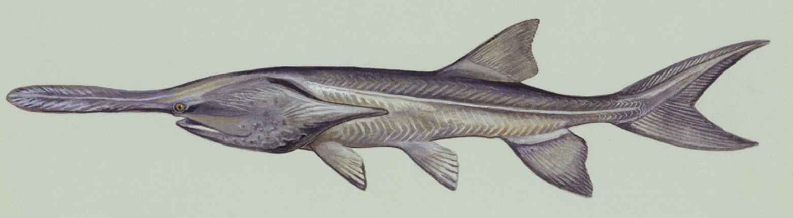
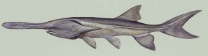
Johnson Lake Drawdown Allows for Clean Up

Johnson Lake Drawdown Allows for Clean Up

Central decided to take advantage of the low water levels at Johnson Lake and do some shoreline maintenance work. As the Nebraska Game and Parks Commission worked to complete their Angler Access Project near the inlet at Johnson Lake, the water levels remained around eight feet lower than normal through most of October. This drawdown allowed cabin owners to clean up shoreline areas and also allowed Central to do some shoreline work.

Kent Aden uses his personal utility vehicle to spray an aquatic herbicide on the shoreline at Johnson Lake.

Kent Aden uses his personal utility vehicle to spray an aquatic herbicide on the shoreline at Johnson Lake.

Kent Aden is shown here testing a new aquatic herbicide in attempt to control the sago pondweed, which has been a concern for many lake residents. According to the USDA website, the sago pondweed plant is beneficial for wildlife and erosion control, but can become overgrown, and should be controlled in lakes commonly used for recreation and irrigation¹.

1. Sago Pondweed Fact Sheet. Retrieved from: http://plants.usda.gov/factsheet/pdf/fs_stpe15.pdf.

“Prehistoric Fish” Stocked in Two Central Supply Canal Lakes

“Prehistoric Fish” Stocked in Two Central Supply Canal Lakes
paddlefish-underwater-polyodon-spathula

American paddlefish

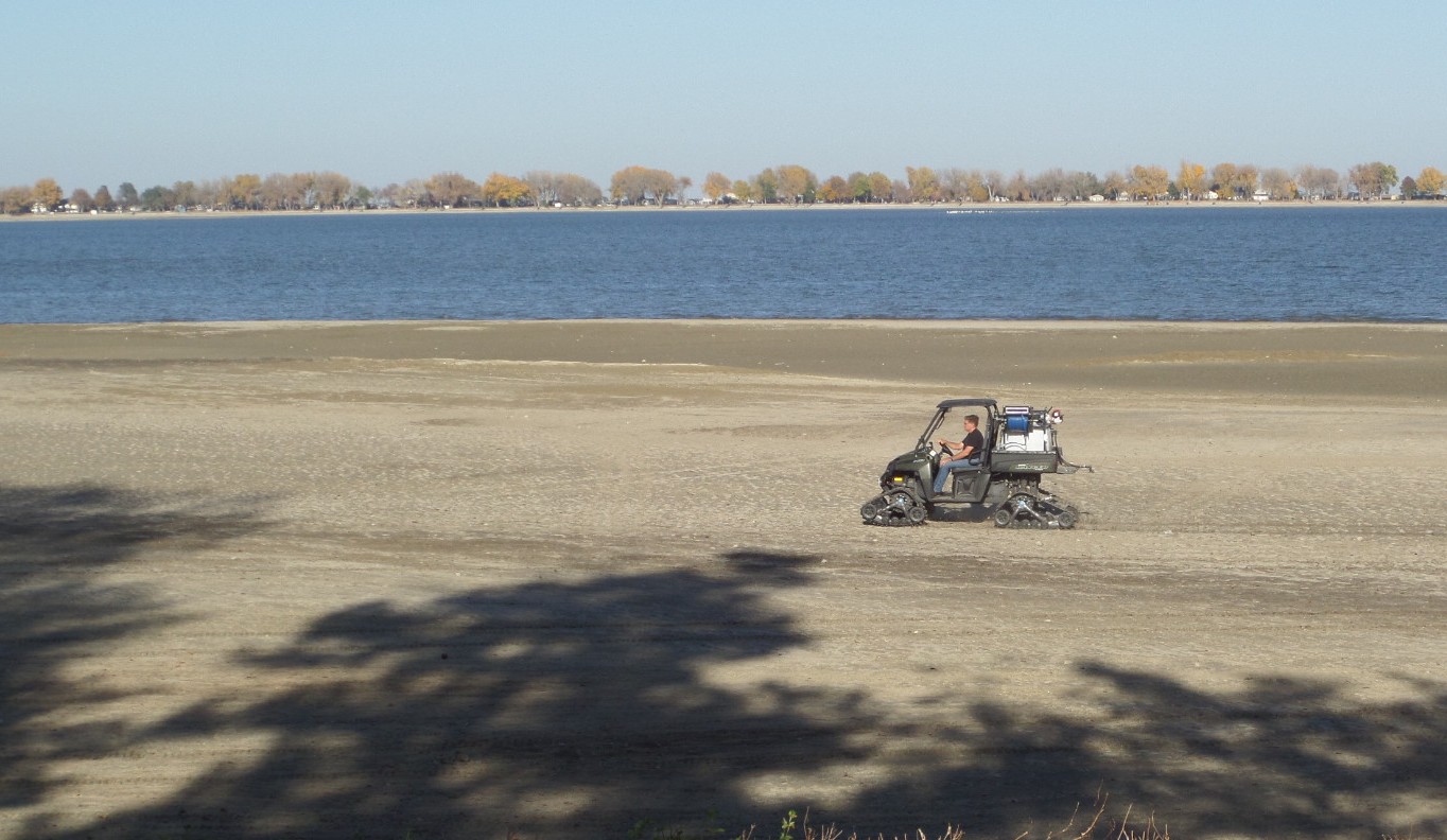
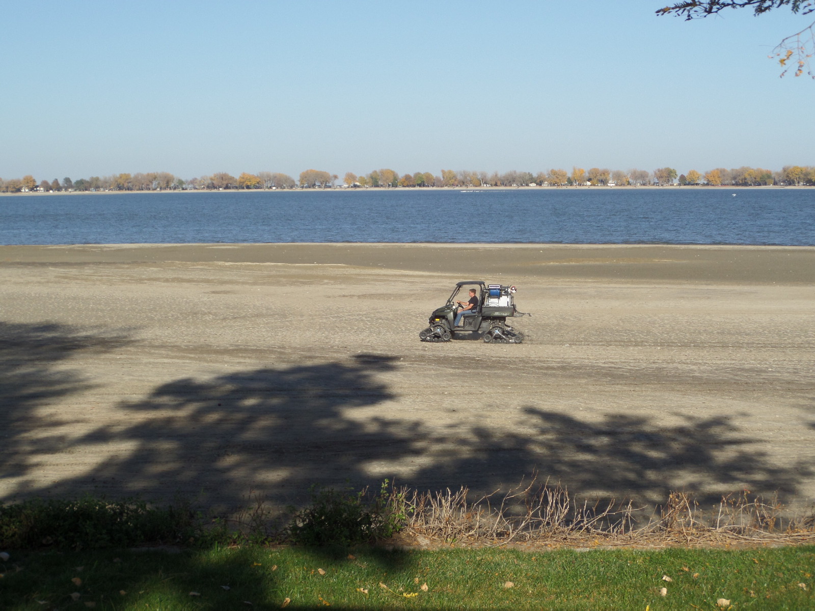
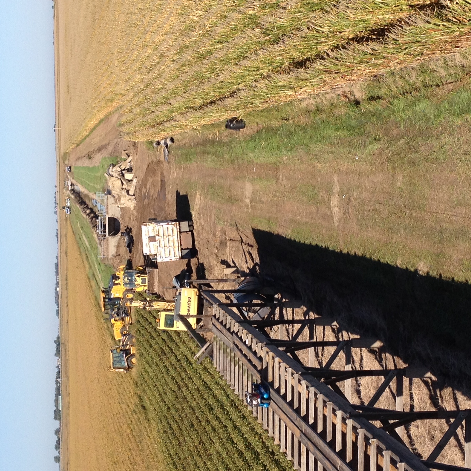
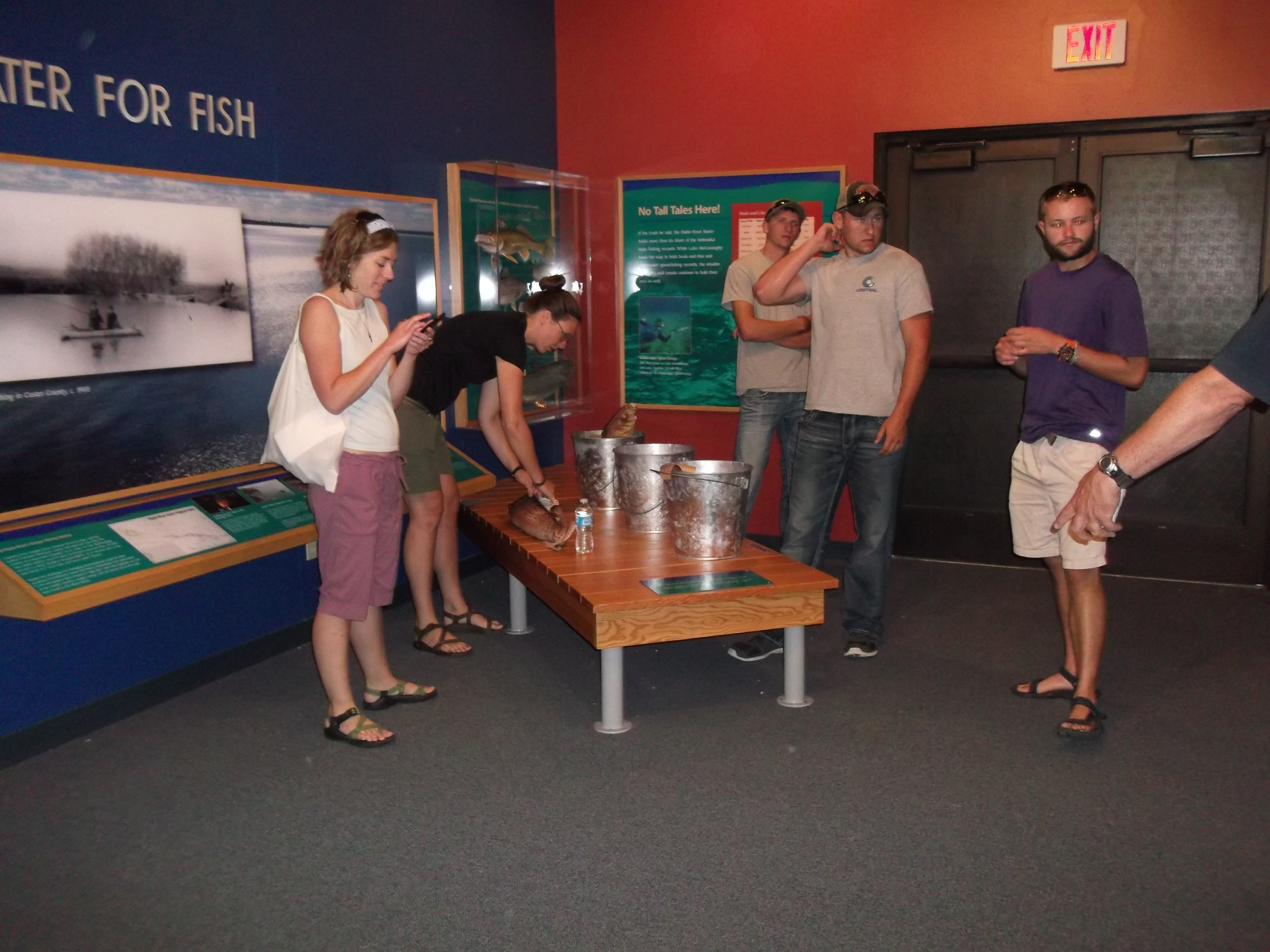
The Nebraska Game and Parks Commission recently stocked 990 paddlefish in two small lakes along The Central Nebraska Public Power and Irrigation District’s Supply Canal.

Gallagher Canyon and Midway lakes, as well as the Supply Canal that conveys water to the lakes, were determined to be suitable habitat for the fish, which were about 12 inches long when placed in the lakes in September. However, paddlefish commonly grow as long as five feet and weigh up to 60 pounds. According to information from the U.S. Geological Survey, the largest paddlefish ever caught in the United States was 85 inches long, weighed 198 pounds and was speared in Iowa’s Lake Okoboji in 1916. Nebraska’s state record paddlefish was snagged below Gavins Point Dam in 2011. That specimen weighed 107 pounds and measured 51-3/4 inches long.

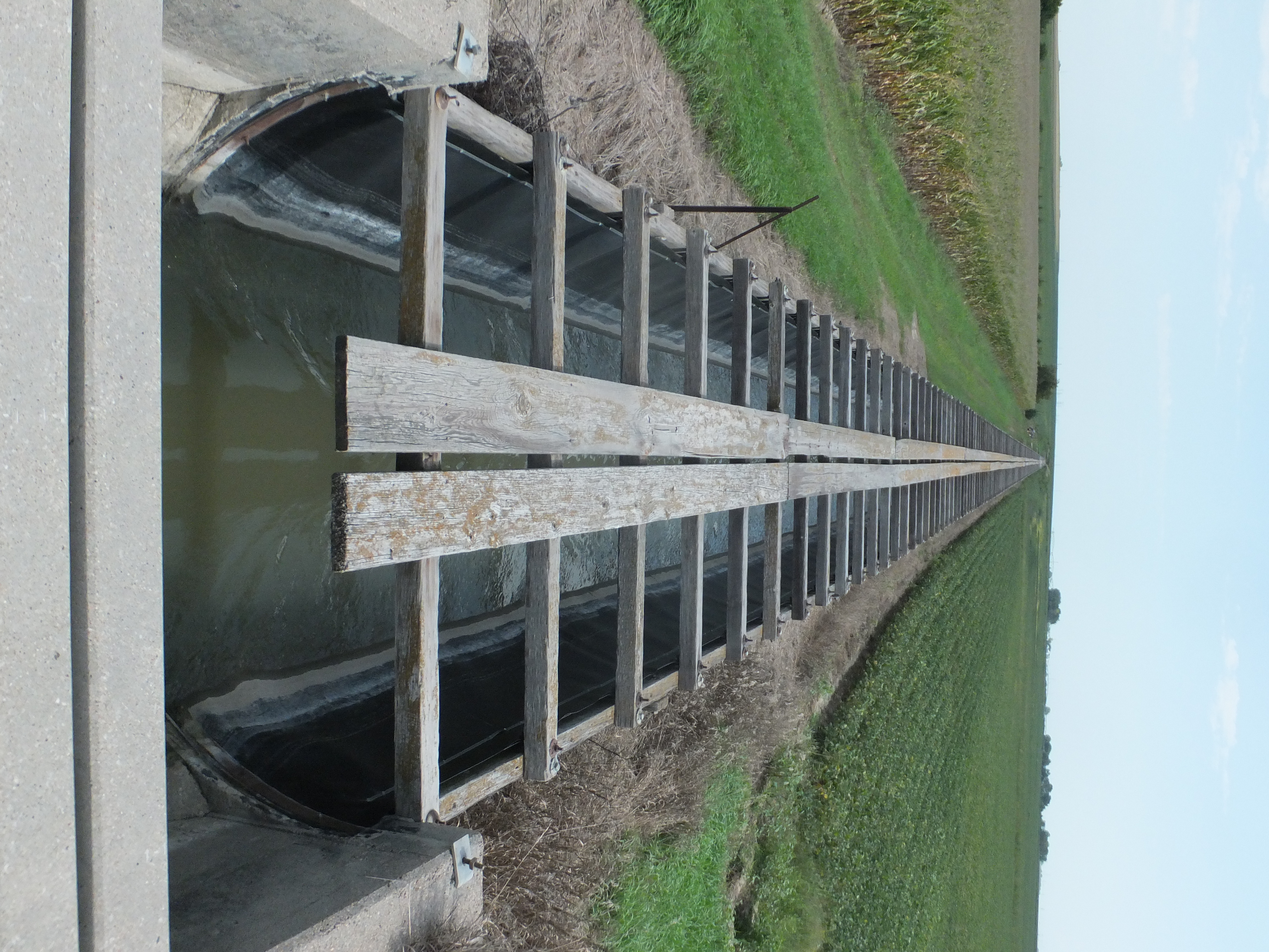
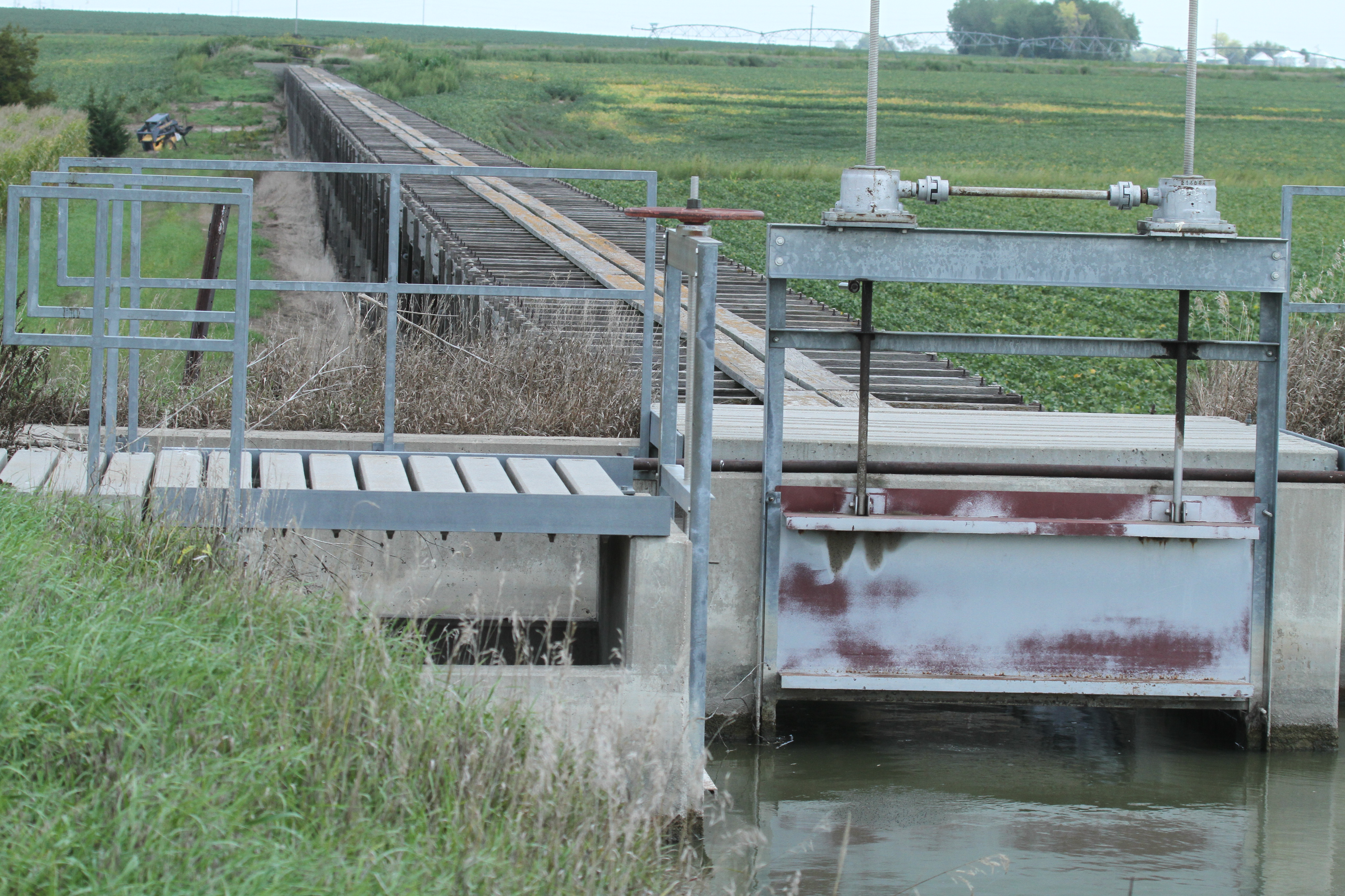
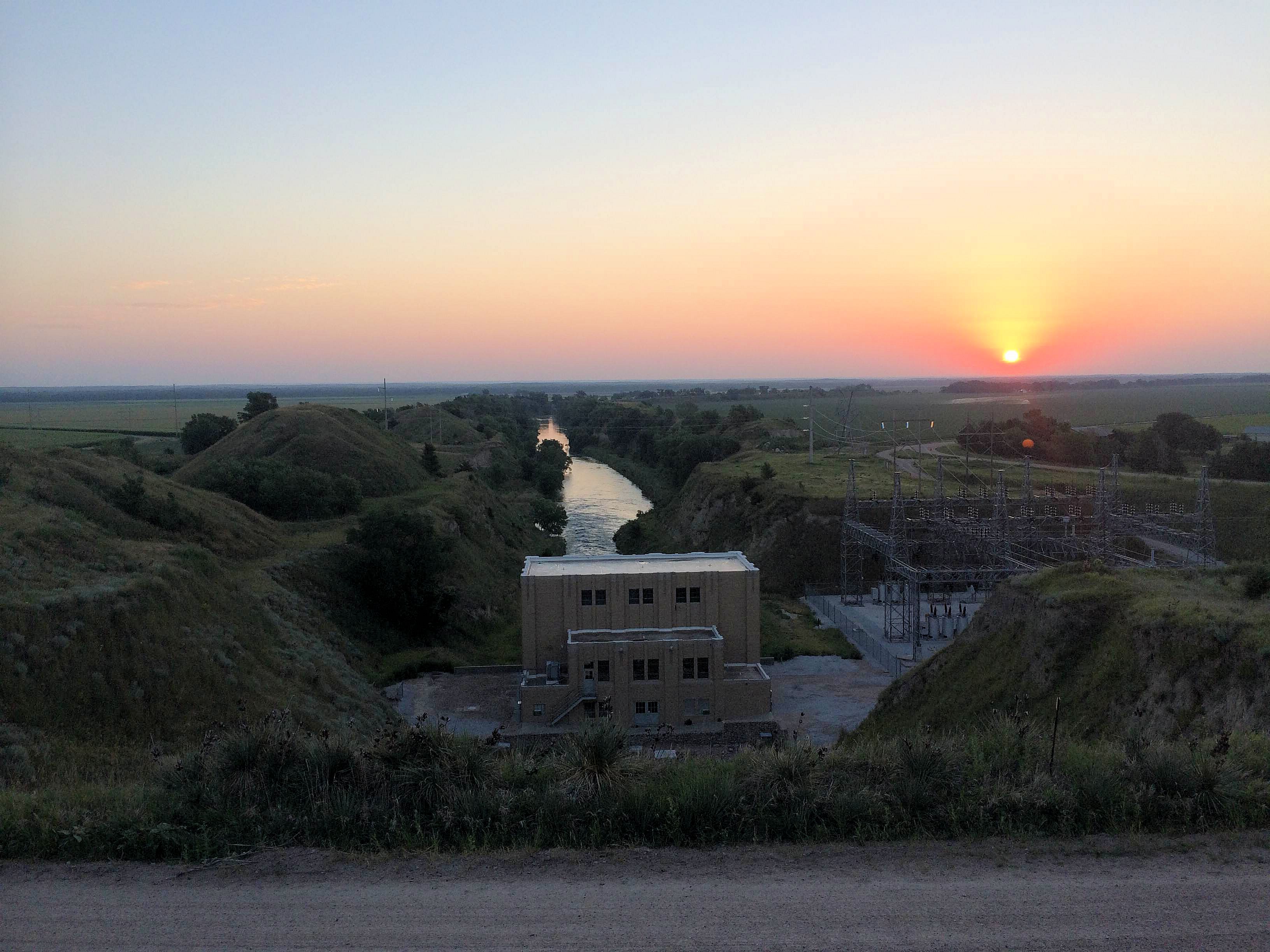
Paddlefish usually seek riverine habitat with deep water and low currents or areas such as side channels or backwaters, making the Supply Canal and the canyon lakes ideal for such fish. Nationwide, paddlefish are found in only 22 states within the Missouri and Mississippi basins.

Paddlefish are characterized by a long snout (the paddle from which its name is derived), called a rostrum, which makes up about one-third of the fish’s length. Thousands of tiny pores are located on the rostrum, which act as electro-receptors that allow the fish to sense weak electrical fields emitted by its miniscule prey. They are filter feeders, swimming slowly with their large mouths open so that zooplankton pass over gill rakers that strain the tiny organisms from the water.

“As filter feeders, they will compete with carp and suckers for food,” said Central Senior Biologist Mark Peyton. “Stocking paddlefish in these lakes may provide another wonderful opportunity for recreation on our canal system and I fully support the efforts.”

Peyton mentioned a recent precedent for paddlefish surviving in reservoirs along canals in western Nebraska that suggests that paddlefish could do well in Central’s canal and lakes. In 1996, a 140-pound paddlefish was discovered in Lake Maloney, a regulating reservoir south of North Platte fed by the Sutherland Canal and owned by the Nebraska Public Power District. The huge fish (75 inches long and, at 140 pounds, much heavier than the current state record) was found floating in the reservoir with a wound caused by a boat propeller, although it was not clear whether the wound killed the fish, or if the fish was dead when struck by the boat.

According to an NGPC spokesman’s comments to the media at the time, it was suspected that the fish escaped from an NGPC holding pond connected to the reservoir in the 1950s or ‘60s. The huge fish was estimated to have been between 40 and 60 years old.

Paddlefish are often referred to as “prehistoric” fish because fossil records indicate that the fish first appeared 300 to 400 million years (pre-dating the “Age of Dinosaurs” by 50 million years).

The fish is protected under state and federal laws, but can be caught during limited seasons by holders who have special permits (for more information, see the NGPC’s web site). However, because the paddlefish grows at a relatively slow rate and take years to reach reproductive age, it will be many years before the population in the canal system is able to sustain a fishing season. In addition, while the canal and canyon lakes may be places where the paddlefish can thrive, it is not known whether the fish will successfully reproduce in the new habitat.

The NGPC intends to continue its stocking efforts for several years, using young fish raised at the Calamus and North Platte hatcheries. For now, the Missouri River is the closest place for Nebraskans to catch paddlefish, but it is hoped that the population will grow to the point that a season can be established in Central’s Supply Canal and canyon lakes.

Lake McConaughy Sign Gets Fresh Coat of Paint

Lake McConaughy Sign Gets Fresh Coat of Paint

DSCN1587

Central teamed up with the group Keep Keith County Beautiful to re-vamp the iconic “Leave only your footprints please!” sign located on the shore of Lake McConaughy.

Central funded the project, which included repairing and repainting the cement slab. The sign had not been touched-up since August 1989.

Originally, the cement slab served as an unloading dock for the railroad as supplies were brought in on rail cars during construction of the dam. Although at times of high tide it is covered by water, most days it welcomes guests to Lake McConaughy with a friendly reminder to keep the beaches free of trash and debris.

complete

Removal of Lost Creek Flume

Removal of Lost Creek Flume
image (6)

Central employees begin removal of flume structure following the end of irrigation deliveries for 2014.

Work began this week on removal of the Lost Creek Flume west of Axtell. The flume, approximately 1,300 feet in length, is original to the project and has required numerous repairs. Over the years, it has deteriorated to a point that repair is no longer feasible, and Central’s board of directors voted in May to replace it with 2,700 feet of 42 inch pipeline, which will be used to continue to provide water to 1,785 acres downstream of the flume.

DSCF3389

A view from on top of the flume. Water is seen flowing through to provide irrigation water during summer 2014.

IMG_3535

The check gate shown here is used to control flow of water through the flume.

DSCF3390 IMG_3585

Platte Basin Time-lapse & Crane Trust Tour Central’s Project

Platte Basin Time-lapse & Crane Trust Tour Central’s Project

Central personnel had the opportunity to take an interesting group of people on a tour of the hydro-irrigation project this summer, a group with more than just a passing interest in the Platte River.

Representatives from the Platte Basin Time-lapse Project and the Crane Trust, Inc., spent two days exploring many aspects of Central’s hydro-irrigation project, including parts of the irrigated area, the Jeffrey Island Habitat Area, Johnson Lake, the Gothenburg Control Center, the Jeffrey Hydroplant, Kingsley Dam and Lake McConaughy and the Nebraska Game and Parks Commission’s Lake McConaughy Water Interpretive Center.  Central’s two summer employees — college students studying wildlife ecology — who monitored nests established by least terns and piping plovers at Lake McConaughy also participated in the tour.

Time lapse crane trust central interns 2014 tour

Representatives of the Platte Basin Time-lapse Project, the Crane Trust and two of Central’s summer employees who monitored nesting by least terns and piping plovers at Lake McConaughy gather for a group picture on the Hilltop above Kingsley Dam.

In 2011, photographer Mike Forsberg and Nebraska Educational Telecommunications (NET) film producer Michael Farrell began a project to examine and document the growing demands of agriculture, municipalities, power generation, recreation and wildlife on the Platte Basin. The Platte Basin Time-lapse Project (PBT) is the result of that effort. The PBT is a private/public partnership with the University of Nebraska-Lincoln and NET, with support from numerous other organizations. By compressing time through time-lapse camera technology, various moments in the river’s processes can be seen in ways normally not perceptible. It also allows viewers to increase their understanding and appreciation of the Platte River and its importance to our region.

About 40 solar-powered time-lapse cameras are currently installed at important locations throughout the Platte Basin. The cameras automatically take one photo every daylight hour of everyday, allowing the capture of a moment in time. When stitched together — days, months, and years go by in minutes — the images provide a unique perspective about the many forces that act upon the river and the dynamics that fit together to shape the river from headwaters to mouth.

PBT staff created an interactive map after the tour that helps explain the hydro-irrigation project and its importance to the State of Nebraska.

The Crane Trust is a non-profit organization devoted to the protection and enhancement of habitats for whooping cranes, sandhill cranes and other migratory birds along the Big Bend Region of the Platte River Valley in Nebraska.

The Crane Trust was formed in 1978 as part of a court-approved settlement of a controversy over the construction of Grayrocks Dam on a tributary of the Platte River in Wyoming. The state of Nebraska and the National Wildlife Federation objected to the project, claiming it would jeopardize irrigation and wildlife downstream in Nebraska. The settlement satisfied requirements of the Endangered Species Act and allowed the Missouri Basin Power Project, owners of Grayrocks, to complete construction. The Crane Trust was funded by a payment from the Missouri Basin Power Project, and income from the endowment is used to finance land acquisition. The Trust is administered by three trustees who are appointed by the three participants in the settlement.

Once on opposite sides of the fence in how Platte River habitat should be managed, Central and the Crane Trust are now working together to ensure that there is enough water to provide all of the benefits – irrigated agriculture, power production, recreation, wildlife habitat, and groundwater recharge — on which Nebraska depends.

Jeffrey Lake Hydro morning horizon by Mike Forsbert

Sunrise over Jeffrey Hydroplant. (Photo by Mike Forsberg)

Lake McConaughy Listed in Top 27 Camping Places

Lake McConaughy Listed in Top 27 Camping Places

lake-mcconaughy-in-nebraska-762013-2435_horiz-large

Budget Travel Vacation Ideas – Best Places to go Camping

Budgettravel.com recently released a photo story about the top 27 places to go camping. Along with the expected beaches of various Caribbean islands, mountainous state parks, and foreign wonderlands lies Central’s very own beaches of Lake McConaughy, listed at number three. Click the link above to see it yourself!

Summer Internship

Summer Internship

The following post was written by Kyle Gaston, one of two CNPPID summer interns working at Lake McConaughy this summer. Kyle is an environmental science major at Doane College.

0 NCM_0169
Photos by Kyle Gaston

This summer has been quite the learning experience for me having never done work with birds before. I have learned a lot and had some good and some not so good experiences this summer. Locating birds, nests, and chicks took some time but the more I worked the easier it got. The job also got more enjoyable once I gained the confidence to do it. This job wasn’t all enjoyable though just like any other job. My first day working in one of the tern enclosures, I learn quickly to not look up because those terns seem to have extremely good aim and will leave your shirt, hat, and anything else you are wearing with white stains.

On a better note, there are some fun and enjoyable parts as well. The people I work with are almost always in good humor. We always seem to be making jokes and never allow people to forget some embarrassing events such as being stuck on the beach, even though we all have been stuck at some point. Overall, working for Central has been a fun and great experience for me even if those terns leave stains all over my clothes, and I would be happy to return and work again next summer.

Snapchat-20140712080743
Photo by Kyle Gaston

Fourth of July

Fourth of July

4july

Fourth of July is a holiday many spend celebrating at the lake. This year, Johnson Lake events are being held on Saturday, July 5th. The day will begin with the annual boat parade 10:00 a.m. at LakeShore Marina boat docks. Sign up at LakeShore Marina C-Store from 8:00 am to 10:00 am. Immediately following the boat parade prizes will be given out.

There will also be a dock decorating contest on July 5th. Sign-up at LakeShore Marina from 8 a.m. – 12 p.m. Judging will take place in the afternoon from 2 to 4 p.m. with cash prizes. The night will conclude with a wonderful fireworks show on the lake.

As always, please use safety precautions when boating or participating in other lake activities at any lake this weekend.

Spring Inflows Boost Lake McConaughy

Spring Inflows Boost Lake McConaughy

Spring has been good to Lake McConaughy this year, both in terms of inflows and outflows: quite a bit of the former and not so much of the latter. Several factors combined to bring about these circumstances.

First, snowpack in both the North Platte River Basin and the South Platte River Basin was well above median (normal) levels. When the spring melt began, the water began flowing into storage reservoirs. Despite the fact that the federal reservoirs on the North Platte River in Wyoming were well below normal in terms of carry-over storage, the mere fact that storage supplies were being replenished was good news.

Entering May, there was little cause for optimism. During a period when inflows to Lake McConaughy historically begin to rise, inflows were relatively flat and hovering around 60% of normal. However, shortly after the U.S. Bureau of Reclamation began moving water from its larger upstream reservoirs down to Glendo Reservoir in preparation for releases to irrigation canals in eastern Wyoming and western Nebraska, the lower basin was hit with a series of heavy snowfall and precipitation events. The additional inflow pushed Glendo Reservoir into its flood pool and water was released down the North Platte River to make room for the extra water entering Glendo.

As a result, Lake McConaughy benefited from an unexpected spike in inflows that lasted from mid-May until the middle of June. Central’s main storage reservoir – thought to have peaked in early May – rose to a second peak near the end of June before inflows diminished, falling back below historic median flow rates.

At the same time, high flows in the South Platte River resulting from heavy snowmelt runoff and precipitation from spring thunderstorms entered Nebraska. For a period of several weeks, Central could hold water in Lake McConaughy and divert excess South Platte water into the Supply Canal to help fill the irrigation canals. Water in excess of amounts that could be diverted continued on down the Platte River, exceeding the U.S. Fish and Wildlife Service’s target flows for wildlife habitat purposes and allowing Central to divert excess flows into Elwood Reservoir for groundwater recharge purposes in both the Platte and Republican River basins. As of June 24, Elwood Reservoir’s elevation had gone up by more than eight feet.


1 2 3 4 5 6
Facebook
Twitter
LinkedIn
Instagram